Location Southern Asia, bordering the Arabian Sea and the Bay of Bengal, between Burma and Pakistan
Geographic coordinates 20 00 N, 77 00 E
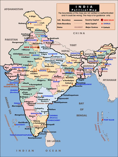
Map references Asia
Area total :3,287,590 sq km
land :2,973,190 sq km
water :314,400 sq km
Area - comparative slightly more than one-third the size of the US
Land boundaries total:14,103 km
Border countries:Bangladesh 4,053 km, Bhutan 605 km, Burma 1,463 km, China 3,380 km, Nepal 1,690 km, Pakistan 2,912 km
Coastline 7,000 km
Maritime claims contiguous zone:24 nm
Continental shelf:200 nm or to the edge of the continental margin
Exclusive economic zone:200 nm
Territorial sea:12 nm
Climate varies from tropical monsoon in south to temperate in north
Terrain upland plain (Deccan Plateau) in south, flat to rolling plain along the Ganges, deserts in west, Himalayas in north
Elevation extremes lowest point:Indian Ocean 0 m
highest point:Kanchenjunga 8,598 m
Natural resources coal (fourth-largest reserves in the world), iron ore, manganese, mica, bauxite, titanium ore, chromite, natural gas, diamonds, petroleum, limestone, arable land
Land use arable land :56%
Permanent crops :1%
Permanent pastures :4%
Forests and woodland :23%
Other:16% (1993 est.)
Irrigated land 480,000 sq km (1993 est.)
Natural hazards droughts, flash floods, severe thunderstorms common; earthquakes
Environment - current issues deforestation; soil erosion; overgrazing; desertification; air pollution from industrial effluents and vehicle emissions; water pollution from raw sewage and runoff of agricultural pesticides; tap water is not potable throughout the country; huge and growing population is overstraining natural resources
Environment - international agreements
party to:Antarctic-Environmental Protocol, Antarctic Treaty, Biodiversity, Climate Change, Desertification, Endangered Species, Environmental Modification, Hazardous Wastes, Law of the Sea, Nuclear Test Ban, Ozone Layer Protection, Ship Pollution, Tropical Timber 83, Tropical Timber 94, Wetlands, Whaling
signed, but not ratified:none of the selected agreements
Geography - note dominates South Asian subcontinent; near important Indian Ocean trade route